
Yorkshire has no shortage of wild landscapes to explore. And one of the best ways to uncover them? By slowing down and enjoying the county’s natural attractions on foot. Here are some of the best multi day hikes in Yorkshire to get stuck into.
Call me biased (because I spent probably the best part of ten years growing up there), but there’s something about Yorkshire’s scenery that evokes excitement.
Perhaps it’s the county’s wide range of natural features which include rugged coastlines, long empty stretches of beaches, green rolling hills, dramatic moorland, and picturesque valleys. No matter what scenery you’re into, Yorkshire delivers.
From the wild and windswept north eastern coastline to the pretty hills of the Yorkshire Dales, there are countless opportunities to explore this magnificent landscape on foot.
Let’s take a closer look at some of the best multi-day hikes in “God’s own country”, aka Yorkshire.
The Yorkshire Three Peaks
Length: 24 miles / 38 km
Duration: 2-3 days
Difficulty: Moderately challenging
Type: Circular
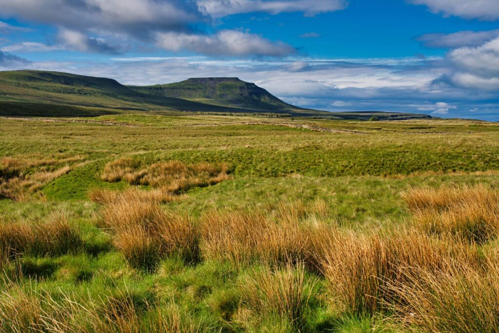
Although typically made into a ‘challenge’ and completed within only 12 hours, the Yorkshire Three Peaks, a 24 mile route taking in the three highest peaks in Yorkshire, Pen-y-ghent, Whernside, and Ingleborough, can be taken at a more leisurely pace too, often over three days or a weekend.
The walk starts and finishes in the small village of Horton-in-Ribblesdale in the Yorkshire Dales National Park where there is a train station served by services from Leeds, Bradford, and other nearby cities.
It’s a very well-marked route and offers stunning views, including the iconic arches of the Ribblehead Viaduct.
Overall, The Yorkshire Three Peaks hiking route involves a total ascent of approximately 1,585 meters (5,200 feet) and the ascent and descent of each peak vary in difficulty.
Pen-y-ghent is the shortest but steepest climb, Whernside is the longest but most gradual climb and Ingleborough has a mix of steep and gradual sections. The route does involve crossing some rugged rocky paths and exposed terrain, so hikers need to be properly prepared with suitable clothing, footwear, and equipment.
Although rushing the walk is an adrenaline-inducing adventure, we’re all for taking it a bit slower to enjoy the far reaching sweeping views from the area’s highest viewpoints.
The Cleveland Way
Length: 109 miles / 175 km
Duration: 7-10 days
Difficulty: Moderately challenging
Type: Thru-hike (one way)
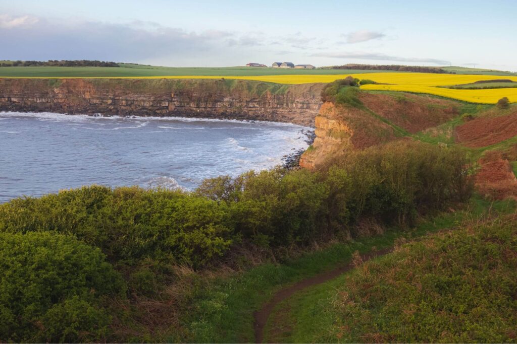
The Cleveland Way is a 109 mile National Trail that takes in some of North Yorkshire’s most beautiful scenery which is typically walked over 7-10 days (averaging 10-15 miles per day).
The trail starts in the gorgeous market town of Helmsley and is usually attempted in a clockwise direction.
Skirting the wild moorland of the North York Moors National Park, the trail then follows the stunning coastline, passing the seaside resorts of Whitby, Robin Hoods Bay and Scarborough, before finishing in the charming beach town of Filey.
The trail was first opened in 1969, making it one of the earliest long-distance hiking trails in the UK. It’s a well-marked and maintained trail, with plenty of accommodation options and amenities for hikers along the way, so ideal for those navigationally challenged or those fairly new to multi-day hiking.
Along the way, hikers can expect to see ancient castles like Scarborough Castle, historic abbeys (such as the ruins of Rievaulx Abbey), and breathtaking sea views.
There are also shorter sections of the Cleveland Way you can do over a weekend, such as walking from Scarborough to Whitby, which typically is done with a night spent at the rather cutely named YHA Boggle Hole.
The Dales Way
Length: 84 miles / 135 km
Duration: 5-7 days
Difficulty: Easy to moderate
Type: Thru-hike (one way)
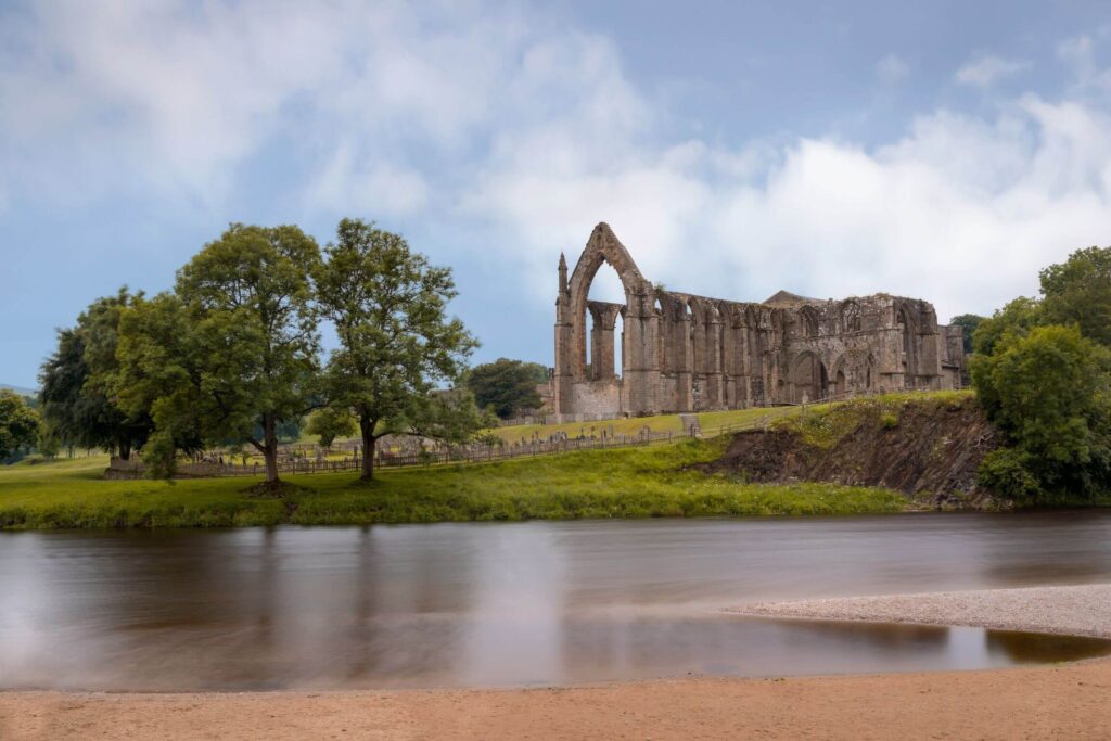
The Dales Way is a 84 mile footpath that takes hikers from Ilkley in West Yorkshire through the heart of the stunning Yorkshire Dales National Park to Bowness-on-Windermere in Cumbria, the Lake District.
The trail follows the River Wharfe for much of its length and passes through a variety of landscapes, including picturesque villages, green pastures, rivers and rugged fells. There are also notable historic landmarks on the way such as Bolton Abbey and the Roman fort at Watercrook.
The Dales Way is typically completed over a period of 5-7 days, with hikers walking an average of 12-15 miles per day. It’s known as one of the easiest long distance hikes in the UK as the terrain is relatively gentle, with mostly flat to rolling hills, and only a few moderate ascents and descents.
You can even arrange daily bag transfers with pick ups and drop offs to your accommodation, so the Dales Way really is an attractive multi day hike for beginners.
The Pennine Way
Length: 268 miles / 429 km
Duration: 16-19 days
Difficulty: Challenging
Type: Thru-hike (one way)
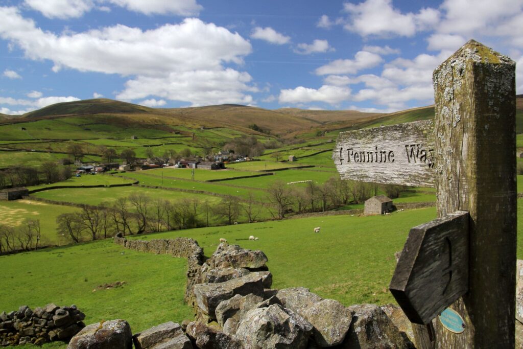
Established in 1965, the Pennine Way is one of the most famous long-distance hikes in the UK as it was the first national trail to be formed in England. It’s also considered one of the most difficult.
The Pennine Way stretches for 268 miles, from Edale in the Peak District’s Derbyshire, to Kirk Yetholm in Scotland.
A large section of the route passes through the stunning landscape of the Yorkshire Dales National Park, taking in the impressive Malham Cove, Areas of Outstanding Natural Beauty (AONB) such as the U-shaped valley of High Cup Nick in the Northern Pennines, and through to the Northumberland National Park.
This multi day hike in Yorkshire is not to be sniffed at, often taking walkers between 16-19 days to complete in its entirety, hiking around 15 miles per day through rugged and challenging terrain.
Despite its challenges, the Pennine Way offers a unique opportunity to experience the stunning natural beauty of the Pennines and the Scottish Borders, and is a must-do for avid experienced hikers and lovers of Yorkshire’s great outdoors.
The Coast to Coast
Length: 192 miles / 309 km
Duration: 14-15 days
Difficulty: Moderate
Type: Thru-hike (one way)
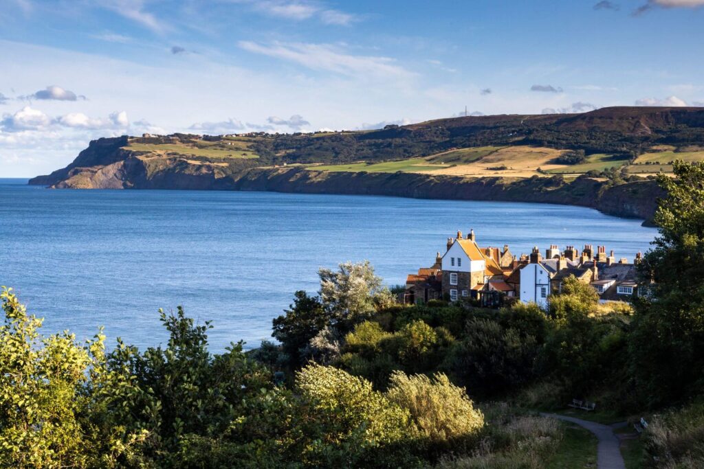
The Coast to Coast (sometimes known as the C2C) is a 192-mile trail that takes hikers across the width of the country from the Irish Sea St Bees on the west coast of England to Robin Hood’s Bay on the east coast of North Yorkshire.
It can also be done the other way around, but west to east allows walkers to gradually build fitness levels and adjust to the terrain before tackling the latter, more challenging parts of the route.
The Coast to Coast trail was created by Alfred Wainwright in 1973, a famous guidebook writer and fellwalker. The route shows off some of the North’s best scenery, including the Lake District National Park, the Yorkshire Dales National Park, and the North Yorkshire Moors National Park.
Despite being one of the best walks in the North Yorkshire Moors, and one of the most popular, it’s neither a designated national trail nor signposted so you’ll need to bring a map (and have a good idea of the route beforehand!). Though really, you’re never more than an hour or so away from civilisation.
Depending on how long you want to take doing the Coast to Coast, expect to walk a long 12-20 or so miles per day.
Yorkshire is a hiker’s paradise, offering a wide range of multi-day hikes that cater to all levels of experience. Whether you’re looking for a challenging route or more of a leisurely stroll over a long weekend, there is something for everyone in this stunning region.
So why not grab your hiking boots, pack your backpack, and head out to explore the breathtaking beauty of Yorkshire on foot?
Note: we believe this information was accurate at the time of publishing, however please research further before making any travel arrangements or commitments. If you think we need to update something, we’re all ears.