
Do you have a local walk you’re proud to show off? The Wainstones Circular Walk in North Yorkshire is a moderately challenging hike, taking in famous sandstones crags, heather-clad moorland, and some of the most impressive far-reaching views across Teesside.
Growing up, the North Yorkshire Moors was a playground of epicness right on my doorstep.
Swathes of dusky pink heather moorland to wade through, the largest concentration of ancient trees in northern England to climb, and empty sandy coves and bays to run around, to play distressed as if we had been shipwrecked.
But it wasn’t until I was an adult that I realised just how epic this northern national park is.
The Wainstones for example, are huge distinctively shaped sandstone rock outcrops in the northwest of the Cleveland Hills. They sit vast, tumbling and precarious-looking at the crest of the hill.
But they’re not just a cool collection of rocks bringing out your childish urge to climb and hide in – they’re etched in fascinating (albeit weathered) Bronze Age carvings. This site has ancient human history too.
Local folklore tells of a Viking chieftain defeated by the Angles on this very ridge, giving the Wainstones their name, from ‘wanian’, an Old Anglo-Saxon word for lament or mourn.
The Wainstones also boast a backdrop of pretty much the whole of Teesside, including Roseberry Topping, Captain Cooks Monument and the North Sea.
Surrounded by the wild heather moorland of Cold and Urra Moor, and the odd old stone barn or farm, it’s one of the most visually stunning walks in the North Yorkshire Moors.
The Wainstones Circular Walk, a moderately challenging 13-15km (8-9 mile) route, is probably one of the most iconic walks in the area to enjoy it all.
If I want to show off my best local walk to someone and give them a workout, I’d take them on the Wainstones Circular.
Here’s an account of my latest jaunt.
Walk Key Stats:
- Length: 13km / 8 miles (or 15km/9.3 miles from Great Broughton)
- Duration: 3 – 4.5 hours
- Difficulty level: Moderate – challenging
- Type: Circuit
- Elevation gain: 645m
- Starting point(s): Clay Bank, Chop Gate (or Great Broughton, but add on 2.5km/1.5 miles)
- Terrain: Mixed: rocky, muddy/boggy, grassy footpaths, small sections on road and some stone paths
- Accessibility: Unsuitable for wheelchair users or people with mobility issues
Starting the Wainstones Circular Walk
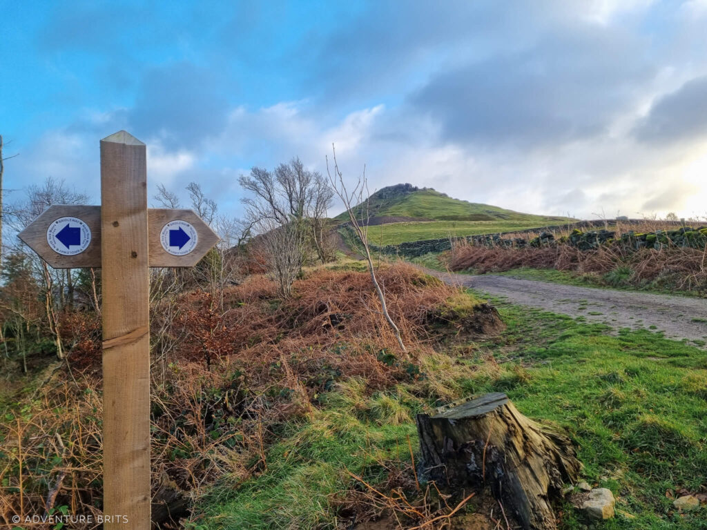
The Wainstones Circular walk typically commences from the village of Chop Gate or from the Clay Bank car park.
As we live to the north of the North Yorkshire Moors National Park, we make our own start point from a quiet lane to the south of Great Broughton to join the top of the circuit instead.
Starting from the Great Broughton required us to zig-zag up a steep bridleway through the forestry plantation to join a path just below the Wainstones. According to AllTrails, this path through Broughton Plantation is a no access route. That’s incorrect as it’s a clearly signposted public bridleway.
Beginning the Wainstones Circular walk from Broughton added on another 2.5km/ 30 minutes or so of walking to reach the trail, and quite a lot of ascent!
Overall, via Great Broughton the route was 15km/ 9.3 miles. It took us three hours and 40 minutes at a very reasonable pace of 4.2km/hour – not a bad clip, particularly considering the elevation gain.
Typically the Wainstones Circular walk from Chop Gate is just over eight miles and will take around three to four hours.
The Wainstones
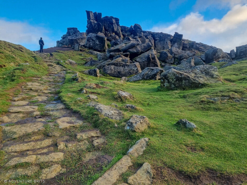
As we joined the Cleveland Way in the December drizzle, the Wainstones beckoned first, drawing us clockwise along the route. After a short incline up a stone path, we reached one of the highest points in the North Yorkshire Moors.
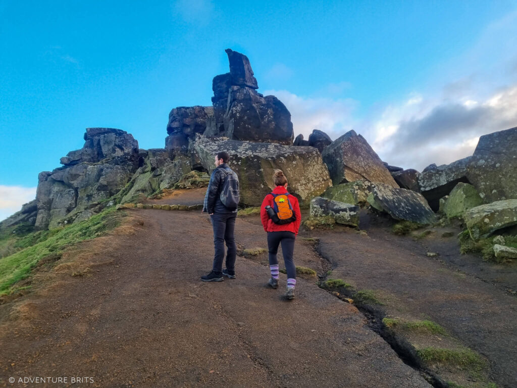
To the north are the stunning and incredibly expansive views across the whole of Teesside, including Middlesbrough. A patchwork of fields with knots of villages and towns, stretch so far, they ultimately disappear into the horizon in a misty haze.
To the southwest, equally as mesmerising undulating moorland and hills unfold.
Up close, the Wainstones are monumental. We take time to clamber around the vast sandstone rocks, squeezing through openings and touching their cool solidness.
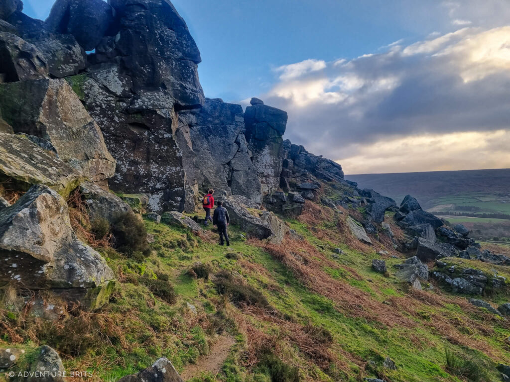
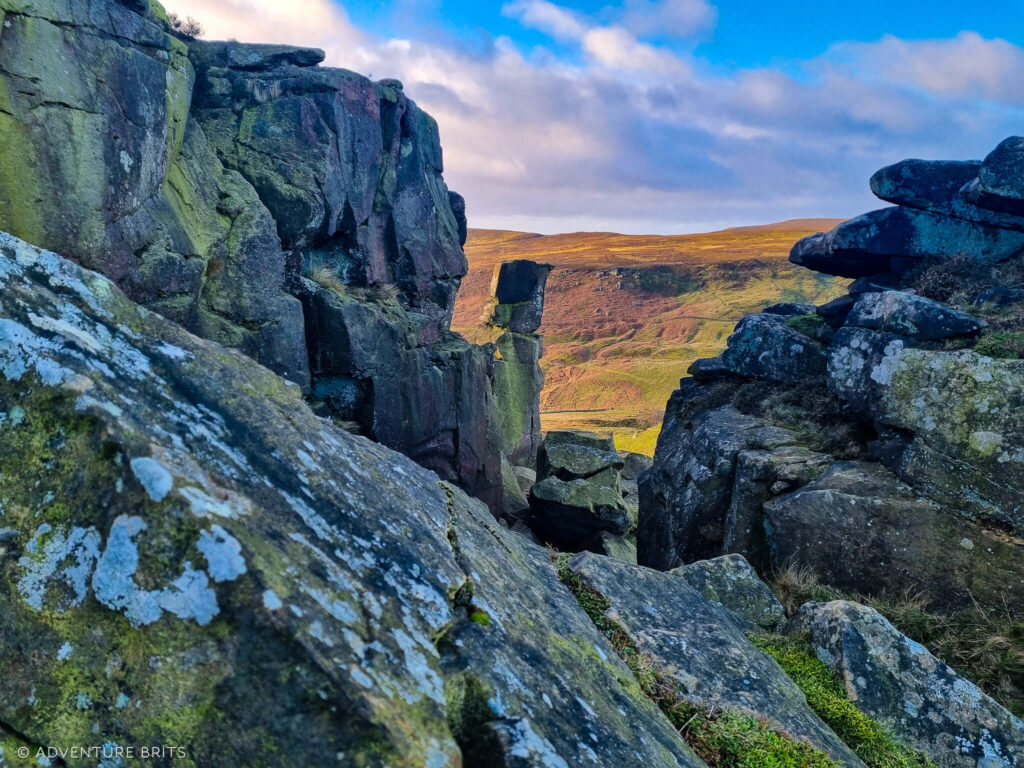
My sister, a rock climber, analyses the crags with wide-eyed interest, silently mapping her imaginary routes.
The Wainstones are actually a very popular place with climbers. Apparently they’re one of the ‘original’ climbing spots in the North Yorks National Park, with multiple very decent mixed grade climbs.
Check out this cool map of climbing routes on the Wainstones for more info, if that’s your jam.
Hasty Bank

Avoiding the dirt trail decoys around the side (which take you off course), we headed straight up above the stones to join Hasty Bank, just as the winter sun made its glorious appearance.
The exposure up at the top of Hasty Bank makes for an interesting few kilometres.
The wind whipped us so hard, we were forced into silence. In part because we wouldn’t be able to hear each other, but also because the wind was so strong, it actually felt really rather hard to breathe.
Despite the wind-beating, this is my favourite section of the Wainstones Circular Walk.
It feels as though you’re traversing along an exposed ridgeline, much narrower than it actually is, high above the world. Like a bird. Looking down, removed from it all. Well, at least to one side of the bank.
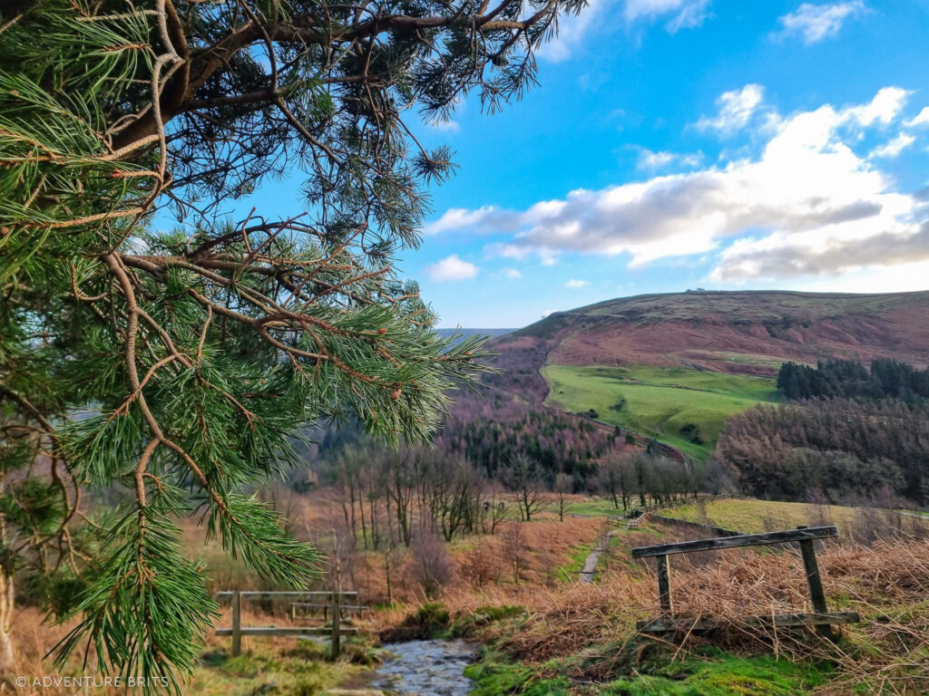
Following the stone path, we soon hit steps, signalling our descent from the bank.
At the bottom, we carefully crossed the B road at Clay Bank Top (cars do seem to whizz by here) and took the wooden gate opposite, to start a short slog up to Urra Moor.
And a slog it was.
Up to Urra Moor
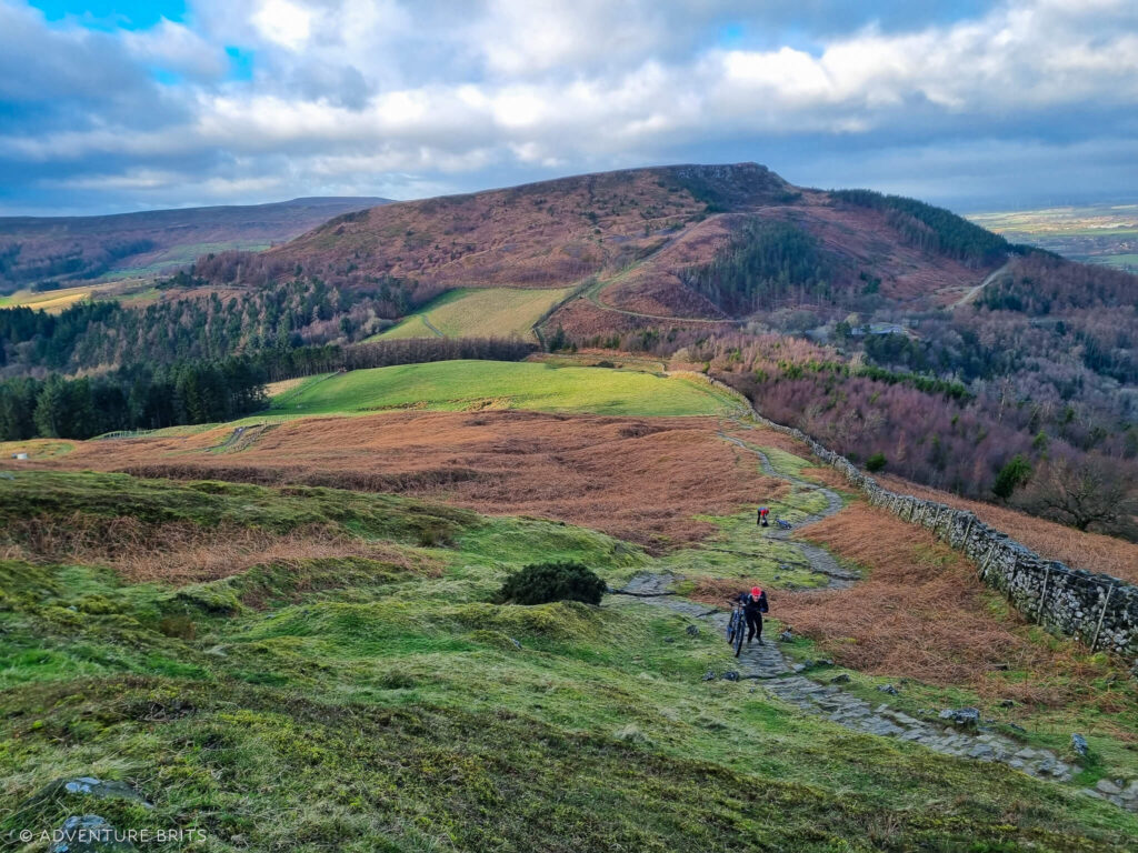
The ascent up to Urra Moor was slow and sweat-inducing. Despite it being midwinter, we burned up under our layers.
We played a constant game of catch up with a family of mountain bikers which kept us amused though. When the incline defeated them, they gave up riding and decided to push their heavy bikes, which was when we’d overtake. Shortly after, we’d be overtaken by them on bikes again, until they collapsed off just in front of us.
This process happened about five times.
Finally at the top of Urra Moor, we were grateful for some flat terrain and a moment to whip a layer off.
Immediately hooking along a bridleway to our right, we followed the very boggy path between the heathland (which at times, turned into a small stream). Safe to say great waterproof footwear, (like my trusty Altberg Tethera hiking boots) are required here.
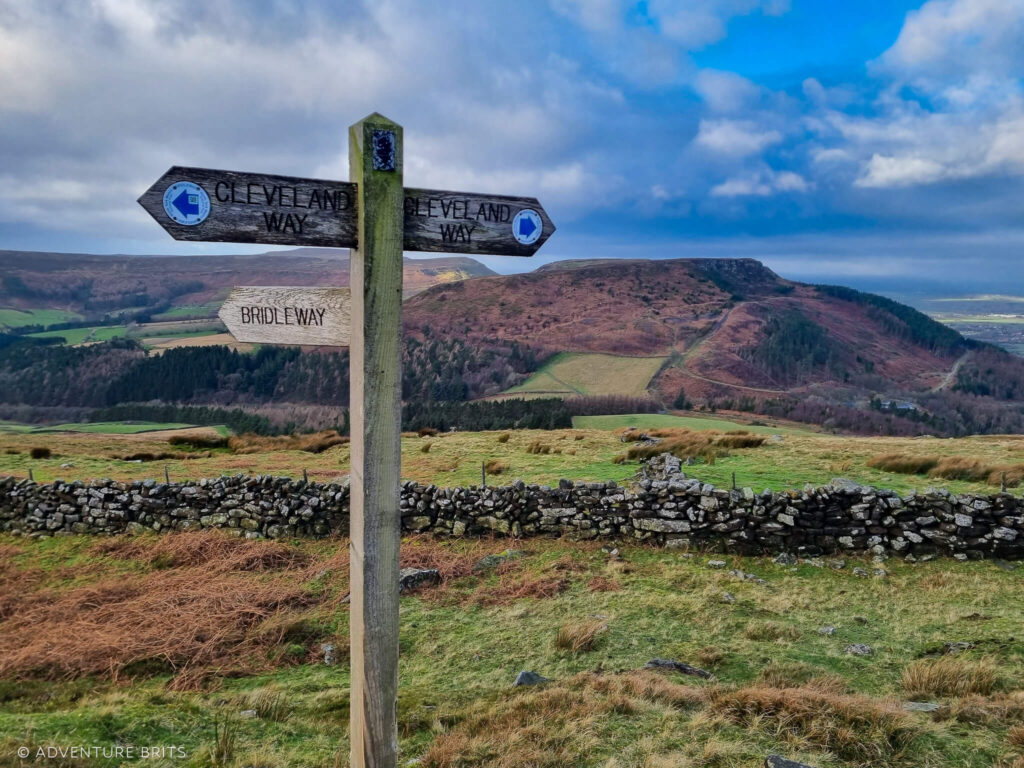
Soon we had to jump over the small Bilsdale Beck and somehow avoided falling in, despite the slippery, muddy bank.
After a few kilometres of walking through exposed moorland, with startled grouse jumping out at us at regular intervals (startling us right back!), we took a path down to our right, towards Town Green.
Town Green (Skipping Chop Gate)
We passed through a wooden gate between a gorgeous stone wall and descended past remnants of an old barn.
Soon we approached what appeared to be a derelict wood-clad house with twee white net curtains, stopping us in our tracks.
For a few minutes we deliberated about who once lived here and what led them to leave a house to ruin in such a stunning setting.
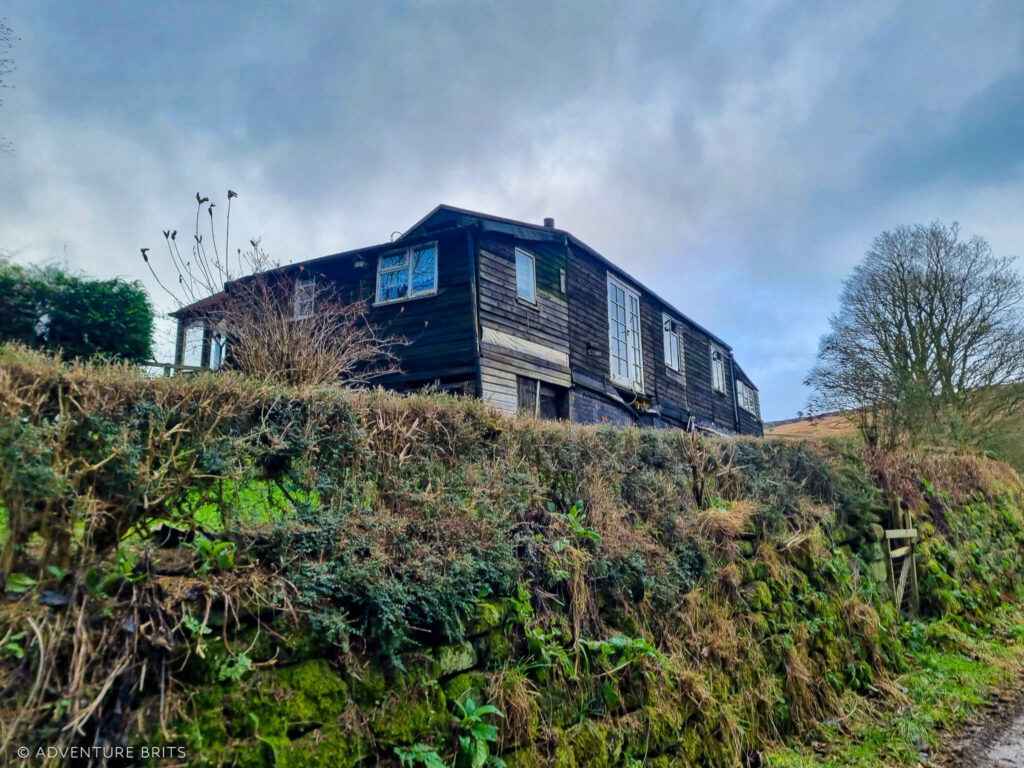
We turned left out of the second gate down the road towards town, crossing Bilsdale Beck again, this time over a bridge.

Considering we didn’t start in Chop Gate, we didn’t feel the need to go all the way south through town, just to come back up again. Instead we took the public footpath opposite us, across the B1257 road in Town Green, that skirted up a very muddy turnip field and joined back on track on Cold Moor Lane.
Cold Moor
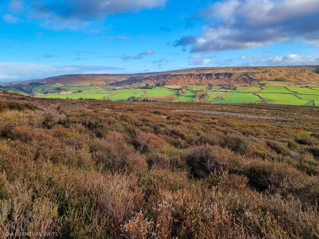
We approached Cold Moor through a wooden gate at the top of the lane and followed the footpath to the right, skirting along the stone wall and past a pine plantation, which slowly took us up to the top.
A long whaleback moorland, Cold Moor runs between the valleys of Raisdale to the west and Upper Bilsdale to the east. It’s carpeted in bilberry bushes that break into heather and long grasses towards the end.
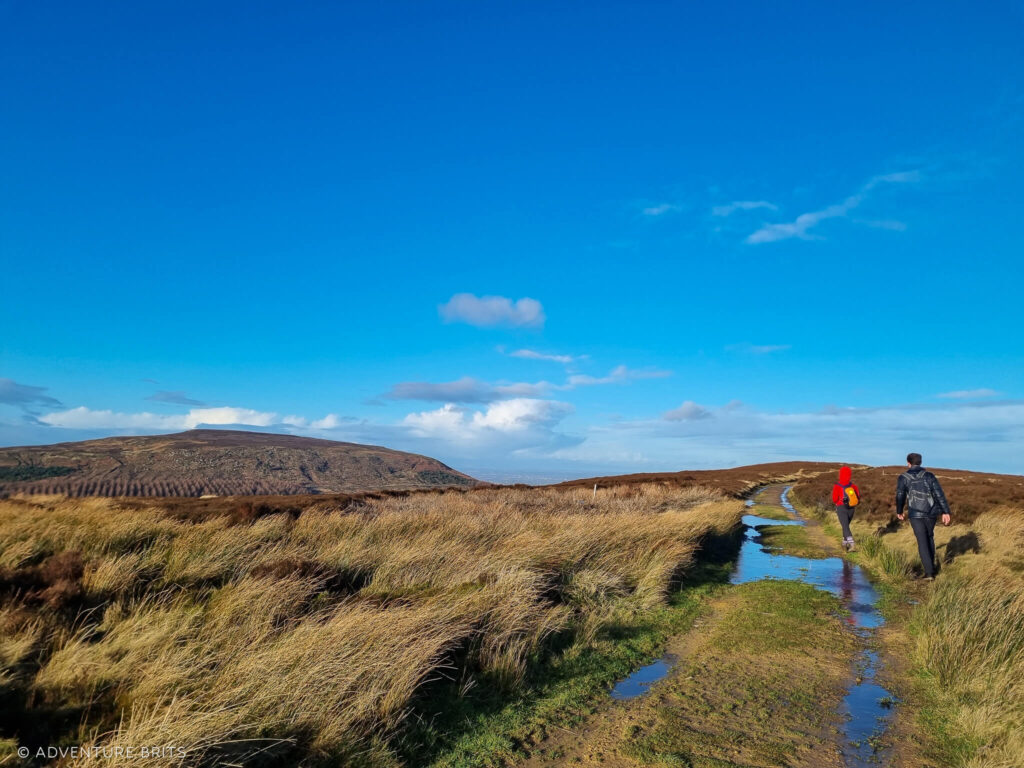
Cold Moor is a stunner. It’s wide and open but falls away steeply at the edges. We could spot the craggy Wainstone on Hasty Bank to our right, signalling the approaching end to our walk.
At the end of Cold Moor, we turned right and zigzagged down the stone path which was slightly tougher on the knees at this stage of the walk than I’d have liked. With my (younger) siblings charging ahead, I took it nice and easy.

Exiting the gate we entered through, we descended the winding road through the plantation back to the car, knocking mud off our claggy boots as we went.
To call that a local walk? Yup – we got it pretty good around here in‘t Moors.